ABOUT US
Based in the city of Kuala Terengganu, Terengganu, ZBY Geohydro Sdn. Bhd. was established in early 2021, formerly known as ZBY Geomatics Services, since 2015. The firm is a professional hydrographic surveying firm wholly owned and managed by Malaysian professional and competent hydrographic surveyors recognised by the International Federation for Surveyors (FIG), International Hydrographic Organization (IHO), and International Cartographic Association (ICA).
We are actively engaged in numerous and varied hydrographic and land surveying, mapping, remote sensing, geographical information systems and geomatics-related services.
Our goal is to exceed the expectations of every client by offering outstanding customer service, increase flexibility and lower cost, thus optimizing system functionality and performance, involved in hydrography, topography, oceanography, aerial photography, and others. We also aim to supply manpower, rent measurement equipment, boat, and others related to offshore activities.
Our Vision
To be the preferred provider of hydrography, topography, and oceanography surveying services, renowned for our precise data collection and analysis, providing clients with exceptional value, continuous innovation, and lasting partnerships.
Our Mission
To constantly meet and exceed our client's requirements efficiently, to maintain a professional, proficient, and proactive team of personnel who can manage, execute and deliver efficiency and effectiveness in all aspects of its services and solutions.

OUR SERVICES
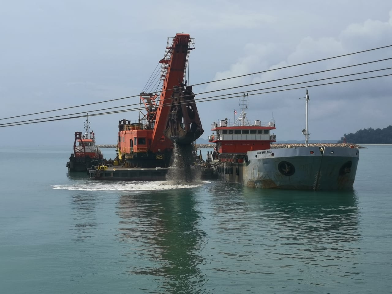
We provide dredging surveys which include geophysical surveys, hydrographic surveys, recommendations on dredge ability & estimation of dredged quantities.
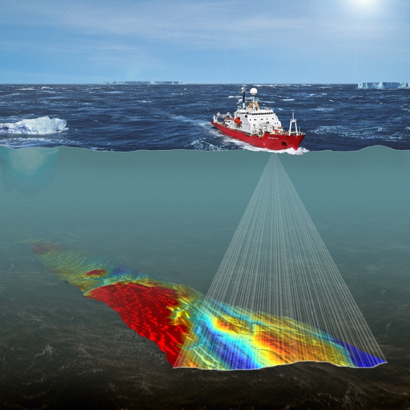
Seabed mapping allows us to investigate seabed of any pockmarks, corals, or existing pipeline on the seabed and provides comprehensive survey data processing solutions.
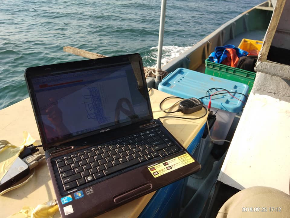
A bathymetric survey allows us to measure the depth of a water body as well as map the underwater features of a water body. We use methods including multi-beam and single-beam surveys, ADCPs, as well as sub-bottom profilers.
